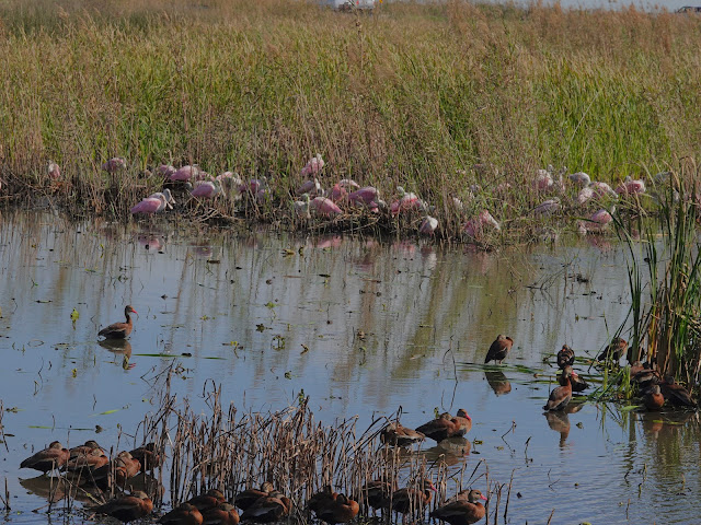
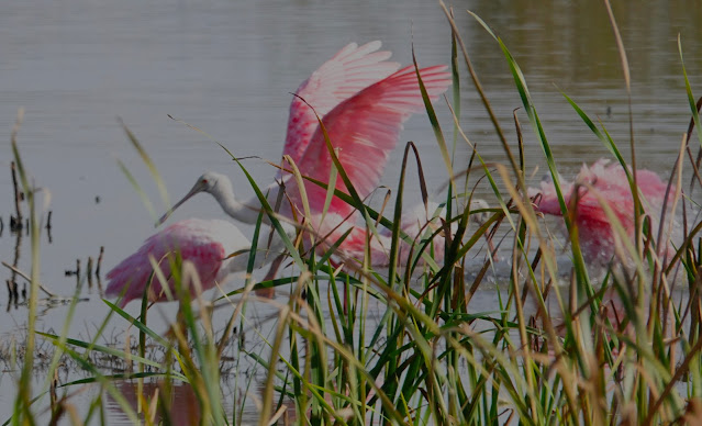
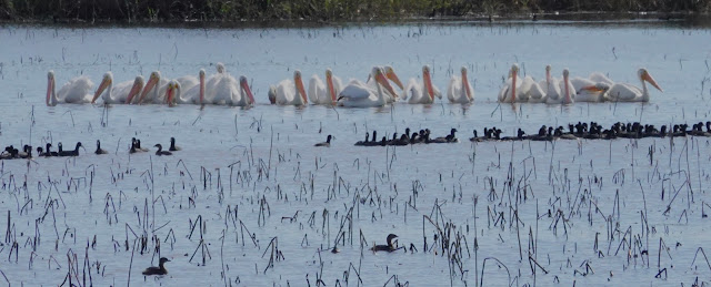
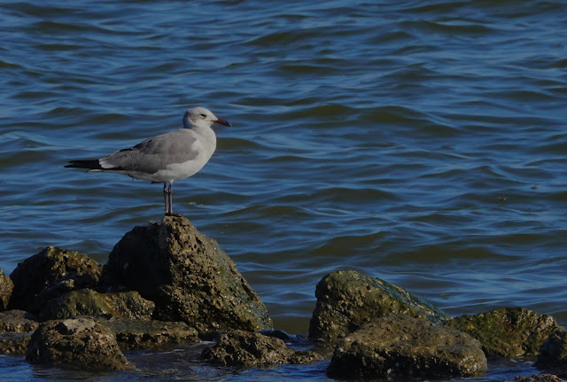
On my last days off, I decided to wander where my spirit moved me and see how many birds I could photograph. I first went south to San Bernard where there were few birds and none willing to come close enough for pictures. I was only able to get a eastern phoebe along the trails. The ponds only had common gallinules and American coots except for one alligator and two blue-winged teal. The auto tour felt like Brazoria, with lots of coots, gallinules and blue-winged teal. The most activity was at the viewing platform, which had lots of herons, egrets, ibis, and teal.
 |
| Eastern phoebe |
 |
| The viewing platform was getting a lot of use |
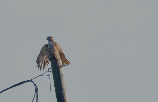
By late morning, I was starving, so set my GPS for On the River Restaurant in Freeport. The meal was delicious. I checked out the Old Brazos River across the street, but only found a an osprey. Soon I was on my way to Galveston to catch the ferry.
 |
| Osprey |
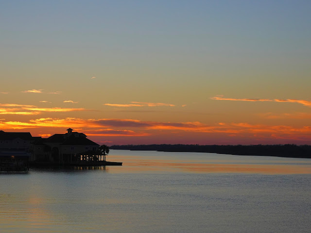
That trip lasted much longer than I expected, as it took three ferries to get all people ahead of me across. So I ended up crossing at sunset and not getting to bird Bolivar, North Jetty and all the other birding hot spots along the way. I got excited about eating at Stingaree Restaurant only to find it was closed. So I checked what other eateries were along the way. I found a new-to-me Steve's Landing Restaurant. It didn't have nearly enough wait people for the crowd, but the shrimp tacos were by far the best I've ever eaten.
 |
| Sunset from the ferry |
 |
| Sleep spot |
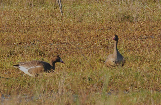
My goal for the following day was to be at Anahuac National Wildlife Refuge at sunrise. I slept at the rest stop in Chambers County where I enjoyed the lullaby provided by the eighteen wheelers. The sun and I arrived simultaneously at the entrance to Anahuac. I started off the day by watching huge flocks of geese fly out. I had fun driving around the auto tour, although there were fewer birds than I expected.
 |
| Dawn sky filling with birds |
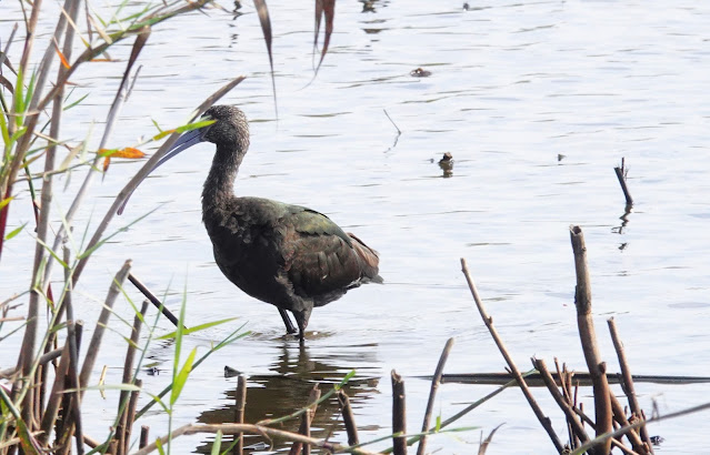
 |
| A flock of white-faced ibis |
 |
| A closer view of a white-faced ibis |
 |
| One of a few visible alligators |
 |
| A distant view of black necked stilts |
 |
| A pair of caracaras |
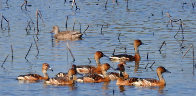
I finished up my Anahuac tour by going to frozen point, stopping to photograph the huge flock of black bellied whistling ducks.
 |
| A fly up of black bellied whistling ducks |
 |
| A pair of very tame neotropic cormorants |
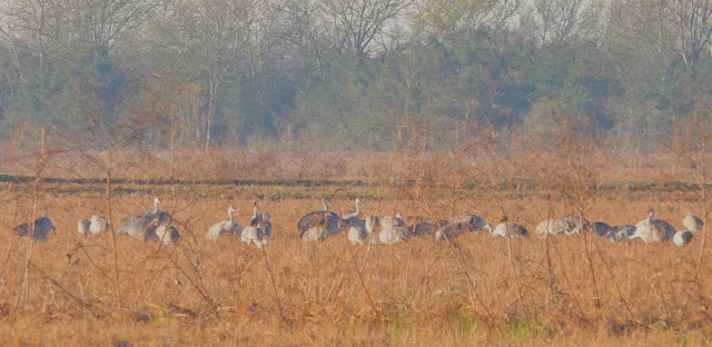
I also wanted to find to find the whooping crane that has been spending winters near Winnie, Texas. I used the coordinates provided by e-bird and found it in the same field where it was originally reported. After enjoying some time with it, I went after supper and another night at a rest stop.
 |
| Whooping Crane |
My next mission was to find the limpkin reported at Sheldon Lake Reservoir, so I got up in time to make the hour's drive in time for sunrise. I was a few minutes late, but still got some pretty cloud pictures. I saw another birding couple and went to see what they knew. We ended up looking for the limpkin for about an hour, while I shared my favorite birding places with them. After about an hour, we found not one, but two limpkins sitting in trees. We moved around to try to get a view that wasn't directly into the sun. They sat around patiently for several minutes, before disappearing into the swamp to feed on invasive apple snails. We were joined by several other birders, including one that arrived after both birds had disappeared.
 |
| Sunrise was blocked by clouds leaving this view |
 |
| The first limpkin flying off |
 |
| While the second finished up its toilet |
By this time, I was hungry and done with birding, so I continued on to spend a couple of days with Natalie and cook a New Year's Eve dinner before driving back to work New Year's Day,
Happy New Year. Surely this will be the year COVID will become endemic. Be safe.